July 27, 2026
SANSA and Laingsburg Municipality reaffirm partnership to advance South Africa’s sovereign space capabilities
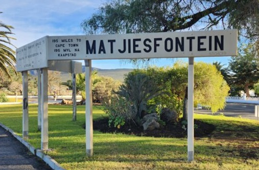
Pretoria, South Africa – 27 July 2026 – The South African National Space Agency (SANSA) and the Laingsburg Municipality have reaffirmed their strategic partnership to advance the development of South Africa's Deep Space Ground Station in Matjiesfontein, a flagship