January 22, 2026
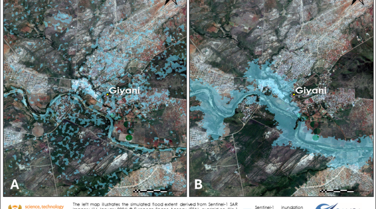
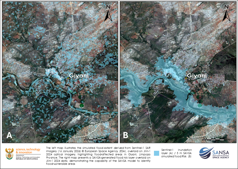
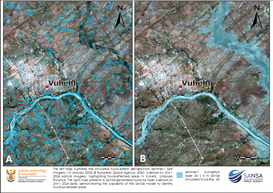
SANSA’s Earth Observation produced flood extent maps for Giyani and Vuhehli in Limpopo Province following the January 2026 flooding, using Sentinel-1 Synthetic Aperture Radar (SAR) imagery acquired on 16 January 2026. By analysing pre- and post-event SAR data, SANSA detected changes associated with floodwater and likely flooded areas.
Due to widespread cloud cover during the event, accurate flood delineation using high-resolution optical satellite imagery was not possible at that time. Sentinel-1 SAR provided a reliable alternative, as it can capture imagery through clouds and in low-light conditions, enabling rapid flood mapping when it matters most.
In addition to mapping flood extent, SANSA EO developed flood risk maps for both areas to help identify vulnerable communities and high-risk locations within Giyani and Vuhehli. This work highlights SANSA’s ongoing commitment to supporting disaster response in South Africa by providing timely, actionable satellite-based information to decision-makers and affected communities.
To strengthen flood monitoring and response capabilities, SANSA is actively engaging with satellite data providers to obtain additional imagery over affected areas, thereby improving situational awareness during ongoing flood events.
SANSA’s Earth Observation division continues to analyse and map floods in Limpopo to assist the government in supporting post-flood recovery efforts.
To access detailed reports, maps or data over other areas, please contact customer services at customers-eo@sansa.org.za and Khumbulani Mkhize at kmkhize@sansa.org.za