April 22, 2022
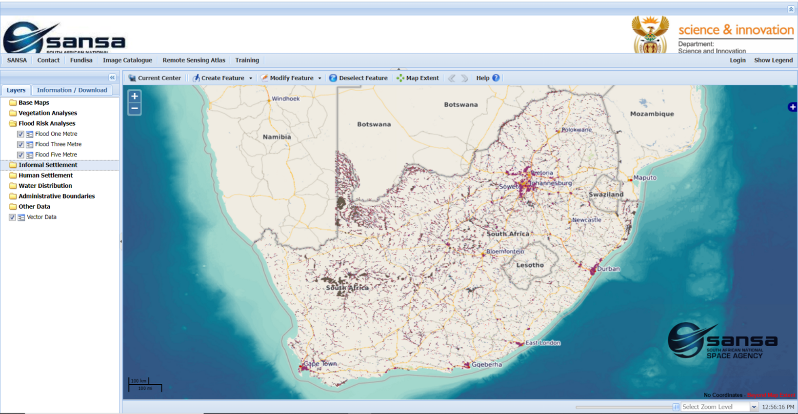
A new tool providing spatial information layers showing potential flood inundation scenarios alongside human settlement layers and allowing rapid visual assessment of areas most vulnerable to flood damage has been developed at the South African National Space Agency. The Flood inundation layers show areas that are likely to be flooded at 1 meter, 3 meter, and 5 meter rise in water levels in South Africa. These layers can be used to support early warning for floods and to identify settlements that are at risk of being flooded. The flood hazard decision support tool can be accessed on the portal http://products.sansa.org.za/mapApp/index.html